 242070
Reservation Zones
The Republic of Moldova is a relatively small country, but it’s rich in unique landscapes, natural monuments of international importance and picturesque wild areas. Over the centuries inhabitants of the area between the Prut and the Dniester lived in harmony with nature. Respect and love to nature, the perception of the people is reflected in the local folklore and especially in the folk songs.
The “Emil Racovitsa” Cave
Is located near the village of Kriva at the north of the country, and it’s the third biggest European cave and world’s seventh biggest gypsum cave. It was discovered in 1959, in 1977 researchers began studying it. Currently only 90 km of tunnels and labyrinths of the cave have been mapped; this area is located on 3 or 4 levels. At some places the tunnels expand forming large halls. Some of the most remarkable are named: the “Hall of a hundred meters”, the “Waiting room” and the “Cathedral”; their length reaches 60-100 m, their width varies from 30 to 40 meters, and the height is about 11 m. The ceiling is supported by impressive columns. More than 20 lakes are found in caverns, some of the largest ones are “The Dacian Lake” and “The Green Lake”. They are about 8-15 meters in length, 5-10 meters in width and 2 m in depth. The air in the caverns has ionizing properties. This special air property, in addition to the fabulous halls, makes the cave very attractive for tourists.
The Rashkovsky reservation
This area includes the western part of the natural landmark “Dealul Rosu” near the village of Rashkov (123 ha) and is a typical karst deposit in the Republic of Moldova. Because of the caverns this natural wall has become porous like a sponge resulting in frequent landslides, splits and huge rocks rolling. As a result of heavy rains a majestic cliff of 50 m was formed here. Rain and wind destroyed the soft limestone and shaped the rocks like sphinxes, elephants and camels’ heads, giant mushrooms, suspended bridges, etc. A real discovery for the speleologists is the karst split of 5 m width, 50 m depth and a 500 m length. Sun rays hardly reach the bottom of the split and snow together with ice preserves itself there until summer sometimes. In the center of the village there is another monument of nature - the wellhead of “Izvorul Domniței”, named in memory of the tears of a widow “Domnița Ruxanda”, the daughter of the king Vasile Lupu. She spent her short and unhappy marital life with Timus Khmelnytsky, the son of hetman Bogdan Khmelnitsky in the former Rashkovsky fortress, which was located on the site of the current village several hundred years ago.
The Butesht canyon
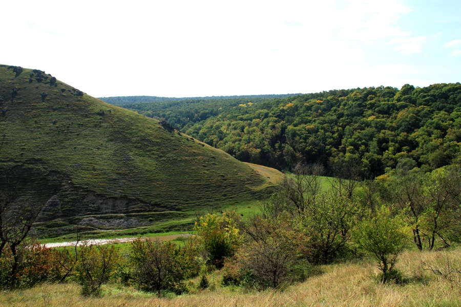
This canyon is located at the south of the village Butesht and occupies an area of 110 ha. The Kamenka river cuts the scenic canyon through the limestone deposits in the area of the river Prut. Reef bearing the same name as the town has a large size of more than 2 km in length and 125 meters in width and is surrounded on two sides by the waters of the Kamenka river.
This geological formation of the whole ridge of the Prut basin was formed 15-20 million years ago in warm tropical waters of the Sarmatian and Tortonian Seas from corals, shellfish, shells, algae, marine animal’s skeletons and other organisms.
3 km away from the Kamenka stream there is a reef split into two parts called “Near Edge Rock” and “Big Rock”. In one of the caves in the Big Rock the human dwelling of the Paleolithic and Mesolithic era were found. In its layers at a depth of 5 meter’s animals’ fossils and stone tools were found. Traces of the Neolithic era fortress were preserved on the reef. The fortress was shielded by steep banks and revetment.
The “Prut Tovtry” is concentrated on a limited area of the small river basins Larga, Vilia, Lopatnic, Dragishte, Rakovets, Chukhur and Kamenka running through the middle part of the Prut. Despite the fact that the reef chain is shattered at places it is still a united organism with a length of about 200 km. Thus, the “Prut Tovtry” is located not directly on the banks of the Prut but in the basins of its feeder several kilometers from the left bank.
Duruitoarya canyon
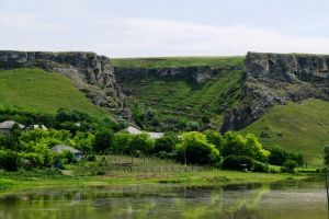
To the east of the village bearing the same name as the Duruitoarea river, an affluent of the river Chugur has cut a deep canyon in it. Its steep limestone slopes are dotted with caves and decorated with cliffs of the most unusual forms that you can’t even imagine. Duruitoarea Veke grotto is known as an ancient settlement of the Stone Age. It consists of three rooms with a total length of 49 m and a width of 9.5 m. Archeologists have found fossils dating back to the Ice Age period, which made the grotto famous all over the world.
Saharna
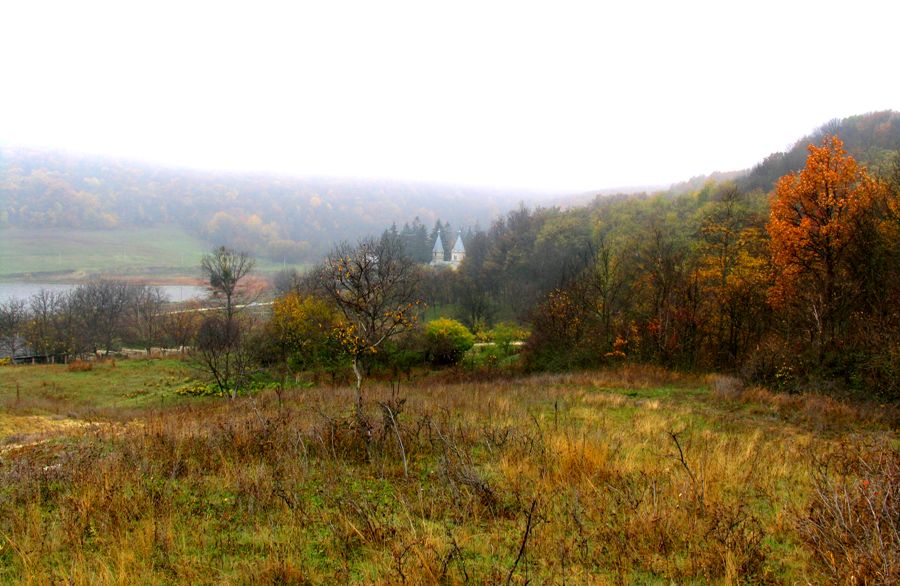
At the entrance to the cleft Saharna from the side of the Dniester river the majestic gray rocks rise above the surroundings, reminiscent of a “natural” medieval palace. “Windows”, silent witnesses of the work of knappers, are blackening on the cliff wall. The story of this rock is lost in the mists of time and its unusual name “Grimidon” suggests to think about its mysterious past. In the morning Saharna people tend to look at the famous Rock and repeat inwardly like their forefathers used to do “Grimidon is in its place, so everything is good”. The small rivers of Saharna and Stohnaya cross the eastern slope of the hill forming an amphitheater around the village made of wide rocks. Together the rivers have cut the canyon reaching 160-175 meters’ depth in some places.
Since ancient times the Saharna gorge was famous for the Trinity Monastery founded in 1776 by Bartolomeu Krivoruchko; nowadays it’s declared a historical and architectural monument. Thanks to the talent of unknown builder’s, beautiful monastery walls perfectly fit the wonderful surrounding landscape. The monastery is located in a stone cup, which was formed as a result of steep slopes rounding. Looking at them from above you can see these slopes as mountains with peaks lost in the sky. The stream, which crosses the gorge Saharna, is very shallow and rocky. In some places you can cross it even not getting your feet wet. As we move deeper into the canyon the rumble of 22 waterfalls becomes more and more clearly audible. Most of the water running across rocky rapids, seems like a strange game played by nature, which gradually prepares us to face the last three waterfalls, the highest and the noisiest of them. The highest waterfall is about four meters high.
In the upper region above the cliff, opened to all the rain and wind, a triangular plain is stretched out covered with silky grass. Here, under the green cover of the land, an ancient Getae fortress is hidden. The hillfort is protected on two sides by steep slopes forming an impregnable rocky promontory and on the third side – by the remnants of the earthworks. All this witnesses that since the ancient times these territories were the cradle of the Geto-Dacian civilization.
Another attraction of this place is a cave monastery carved in the XIV-XV century in the rock of the right slope of the canyon. Today the only inhabitants of the monastery are bats, nocturnal birds of prey, small predators and wind.
Scientific reserves
Scientific reserves are the real jewels of our natural wealth. They represent not only the ecological and tourist attractions, but also a scientific value, as there are still many rare species of plants and animals in their natural habitat to be found. Unlike other reserves well-known for their natural beauty, the Moldavian scenic reserves impress by the large quantity of the various monuments of nature with unbelievable variety concentrated within a relatively small area.
The “Codrii” Scientific reservation
“Codrii” is the oldest reservation in Moldova. It was founded in 1971 and covers an area of 5177 ha. The landscape with a maximum height of 380 m is crossed by valleys, cormorants, ravines, etc.
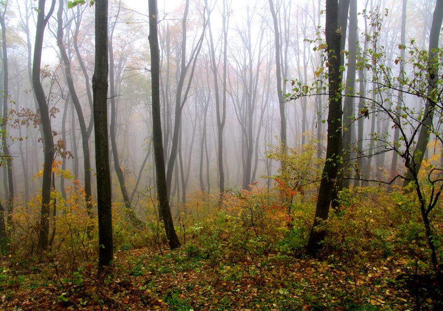
You’ll be stunned by the nature of the reserve with its abundance of forms and species, some of which are considered rare or endangered. The reserve “Codrii” protects about 1,000 species of plants, i.e. ½ of the flora typical for Moldova. The largest area is covered with forests of sessile oak mixed with hornbeam, linden, ash and maple. Less common are forests of English oak and hornbeam. Shrubs and grasses are well spread and include dogwood, viburnum, European euonymus, svidina; herbs growing here are sedge, goutweed and wild garlic. At high altitudes in the areas of springs and small streams small beech groves are situated. There are about 90 rare or endangered species of plants in the reserve such as cotton grass, orchid, zhabnik, bolotnitsa.
Wildlife is rich in the reserve as well. Here you can meet representatives of the Carpathian, Balkan and Asian fauna. Three functional areas of the reserve record 225 species of vertebrates and 1178 species of invertebrates. 55 species of vertebrates are rare, and 43 are very rare. Deer, wildcat, buzzard, turtle, owl, asp, etc. are found in the forests.
The “Padurea Domneasca” Scientific reserve
Scientific reserve “Padurea Domneasca” was founded in 1993. Its total area numbers 6,032 ha, 3054 ha of which are covered with forests.
The reserve was created in order to preserve the typical riparian forests, to conserve individual species and rare plants communities. Depending on the topography and hydrology different types of forests have formed here; they consist of oak and white poplar. Oak forests are situated preferably on high floodplains that are flooded very rarely. These forests also include white poplar, elm and field maple. The shrub layer is well developed and represented by the hazel, elderberry, privet, European spindle tree. The dogwood and vines are represented by bullis vines. The grass cover is also well developed. There is an abundance of goutweed, Stellaria, nettle, zherushnik growing easily in these places.
Willow forests cover valleys of the riverbed near the Prut, where the water is close to the inland.
The flora includes 575 species of plants, 40 of which are rare. There are 49 species of mammals.
By walking around the reserve it’s certain that you can meet such rare animals as the otter, stoat, pine marten, wildcat. Local reptiles and amphibians are interesting and can be found easily as well (copperhead, bog turtle, frog, etc.).
The total number of the species of birds found in the reserve is 159, 52 of which are only flying through its territory, and 107 species that nest here. Many birds are very familiar such as chaffinch, nightingale and crow. The importance of the reserve consists primarily creating a safe habitat for rare species living here (black stork, honey buzzard, lesser spotted eagle, yellow heron, great white egret, spoonbill, etc.)
The “Prutul de Jos” Scientific reserve
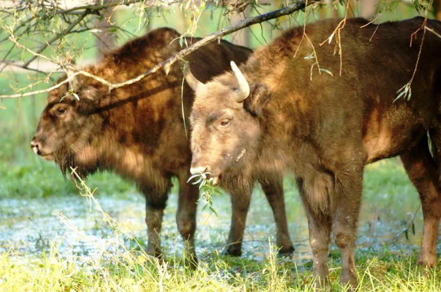
In order to protect the flora and fauna of the lake Beleu and the floodplains of the Prut river the Reserve “Prutul de Jos” was made in 1991, having an area of about 1691 ha. Almost 2/3 of the area of the reserve is occupied by waters of the lake Beleu. The remaining area is a flood plain. Studies have shown that the lake Beleu can be a natural ecological laboratory within this reserve. The composition of the reserve includes not only land, swamps and water plains (Prut floodplain), but also a scenic area of steep terraces.
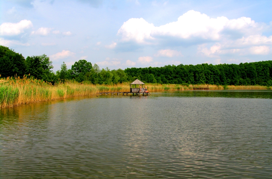
Beleu is a relic lake, with its length 5 km and width 2 km, its depth varies from 0.5 to 2 m. The lake has been preserved from the beginning of time (5-6 thousand years), when a large part of the Danube Delta has been under the waters of the Black Sea. Currently water flows into the Beleu through two channel and flows out through the third. The water level in it depends on the spring and summer floods and flood rises of the rivers Danube and Prut. During the years, when the lake contains enough water, the aquatic vegetation develops in the area, which is represented by reeds, cattails, pondweed, hornwort, limnanth, very rare white water lily, salvinia, caltrop. During the dry years, when the volume of water, in the lake is greatly reduced most of the aquatic vegetation dries up. Trees are occasionally represented by willow groves and even more rarely by white poplar. Floodplain grass cover varies depending on soil moisture. It is home to rare species of mammals such as otter and mink. 168 species of birds, mainly water, are registered here, 36 of which are observed in their migration. The lake Beleu shelters 30 species of fish. There are 160 species of plants growing in the reserve.
The variety of local flora and fauna to a great extent is the result of the reserve location. It’s relatively close to the Danube Delta and lies on the large migratory routes of birds. Due to its biological wealth it’s of great environmental value.
The “Plaiul Fagului” Scientific reserve
The “Plaiul Fagului” Scientific reservation (“Beech region”) was founded in 1991 to protect the beech forests although it received the reservation status back in 1976. This reserve occupies the north-western part of Codrii. The total area amounts to about 5,642 ha, 4,639 ha of which are covered with forests.
The reserve's flora includes 903 species of plants. The forest vegetation is represented by the woodlands of beech, sessile oak, ash, horn-beech and to a lesser extent of oak. Shrubs and grasses are weak. There are 74 rare and endangered species of plants. You can see bird cherries, cleistogenes, honesty, and fern here. Fauna is represented by 42 species of mammals and 110 species of resident and migratory birds. Among the population of mammals, the first place belongs to the rodents (18 species), followed by the predators (8 species) and insectivores (6 species). The Birds’ population consists mainly of forests and to a lesser extent water, field and synanthropic species. The total number of birds found in “Plaiul Fagului” is 138 species. There are more than 20 species that come here during migration, the other 90 species are local, nesting and hatching in the area. The most often rare species that one can meet here are the black stork, white-dwarf, honey buzzard, lesser spotted eagle, and in summer - the mute swan. During migration one can observe the corncrake here, one of the rarest birds of today about which few people have even heard of and only some of them have seen.
The “Yagorlyk”Scientific reservation
The “Yagorlyk”Scientific reservation was founded in 1988. It’s located in the lower stream of the Yagorlyk river on the left bank of the Dniester and occupies about 836 ha of land and 270 ha of water area. The combination of the land and water areas of the reservation create favorable conditions for the reproduction of animals and plants. The land area is occupied by the steppe plant communities including the feather grass, fescue, bluegrass. Forests occupy small areas represented by individual woods of pedunculate oak and downy oak.
The Yagorlyk floodplain vegetation also occupies a limited area and is represented by plant communities of wheat grass, bluegrass, rump, etc. Underwater vegetation is well developed and consists of hornwort, reed, cattail, pondweed. There are more than 719 species of plants that are recorded in the reserve, 50 of which are considered rare.
The reserve is inhabited by 29 species of mammals. They are not as “endangered” as in other reserves but are also interesting: the roe deer, wild boar, marten, fox and raccoon dog. Nevertheless, there are also some rare species such as the European ground squirrel and ermine.
Rare reptiles that include the copperhead, the yellow-bellied snake, the turtle can also be found here. The large variety of habitats of the reserve is home to a quite a large number of bird species found here (121 species). Red Book species such as mute swan nest here, whilst others, like the osprey and dove-hawk, occasionally migrate here.
În contextul lansării programului ”Satul European”, ce probleme vitale există în localitatea dumneavoastră?
- Statut:
- Sat
- Prima atestare:
- 1621
- Populația:
- 2120 locuitori
Mereşeni este un sat şi comună din raionul Hînceşti. Din componenţa comunei fac parte localităţile Mereșeni și Sărata-Mereșeni. Localitatea se află la distanța de 9 km de orașul Hîncești și la 43 km de Chișinău. La recensămîntul din anul 2004, populaţia satului constituia 2120 de locuitori. Satul Mereșeni a fost menționat documentar în anul 1621.


 20 aprilie - Calendarul celor mai importante evenimente din trecut și prezent
  MELODIA ZILEI: Victor Bondari - Radu Mamii
  Ce evenimente culturale vor avea loc în ziua de 20 aprilie
 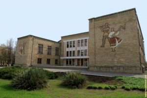 Moldografia: Casa de Cultură din Bender
 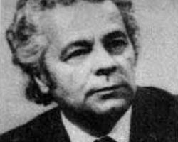 Ilie Bogdesco – maestru al graficii
  Gala Premiilor Patrimoniului Cultural 2024 - eveniment special, organizat în cap…
 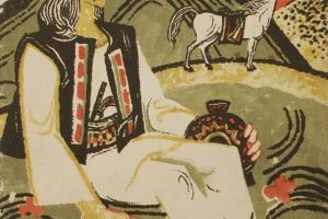 Creația populară: Eposul eroic
  Maria de Mangop – o prințesă bizantină pe tronul Moldovei
  Doru Petruți: ”Cel mai agresiv electorat este fix cel pro-european”
  De ce sînt folositoare nucile
  Rețeta care aduce sistemul imunitar la cote maxime
 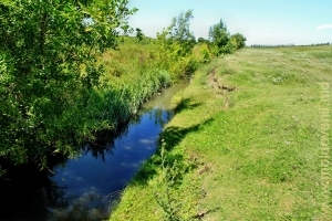 O călătorie pe rîul Larga (Foto)
  21 aprilie - Calendarul celor mai importante evenimente din trecut și prezent
  MELODIA ZILEI: O-Zone - De ce plîng chitarele
  Ce evenimente culturale vor avea loc în ziua de 21 aprilie
  Moldografia: Începutul defileului de la marginea satului Duruitoarea Veche
  Ambasada Rusiei a mulțumit pentru înlăturarea consecințelor profanării monumente…
  Nicolae Eșanu: "Constituția nu prevede introducerea anumitor modificări în baza…
  In memoriam Chiril Iliașenco
  10 mituri despre recensămînt, demontate de Biroul Național de Statistica